Drone Surveys
Drone Surveys
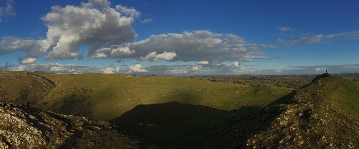
Drone Surveys & Mapping
We are able to offer a cost effective way to generate large scale, bespoke, high definition plans and models that integrate seamlessly into AutoCAD.eagle eye design is registered under the Permission for Commercial Operations (PfCO) granted by the CAA
to operate drones for the production of:
- Aerial site surveys
- Habitat surveys
- Aerial mapping
- Topographic surveys
- Asset inspections
- Point clouds production
- Production of 2D plans and 3D models